


28 May Excursion: Exploring Belt Creek
Editor’s Note: We all have our secret spots — those undiscovered special places that offer a full and intimate experience. And as more and more recreationists venture into the outdoors, some places inevitably feel the pressure. While crowds risk changing the character of a place, many small town economies have benefited from more visitors passing through, and a part of our shared identity in the Northern Rockies is an innate need to explore and immerse in the outdoors. Public land plays an important role in making these experiences possible. As outdoor enthusiasts, we share in the responsibility for keeping these places special.
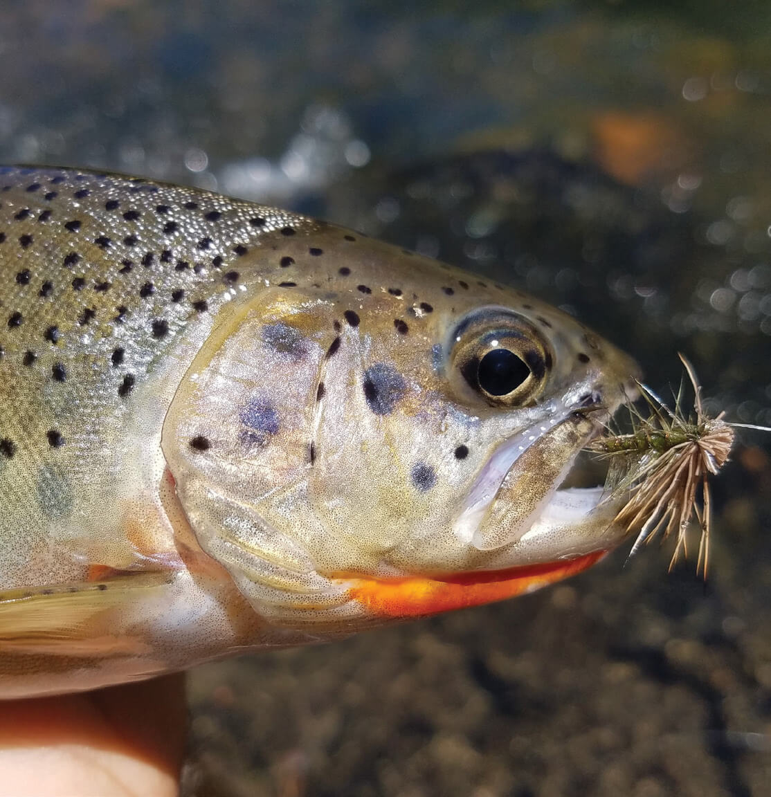
The westslope cutthroat trout, Montana’s state fish and a prized catch, draws anglers to the canyon as much for the experience along the vibrant creek and canyon walls as for the thrill of landing one. | AMY GRISAK
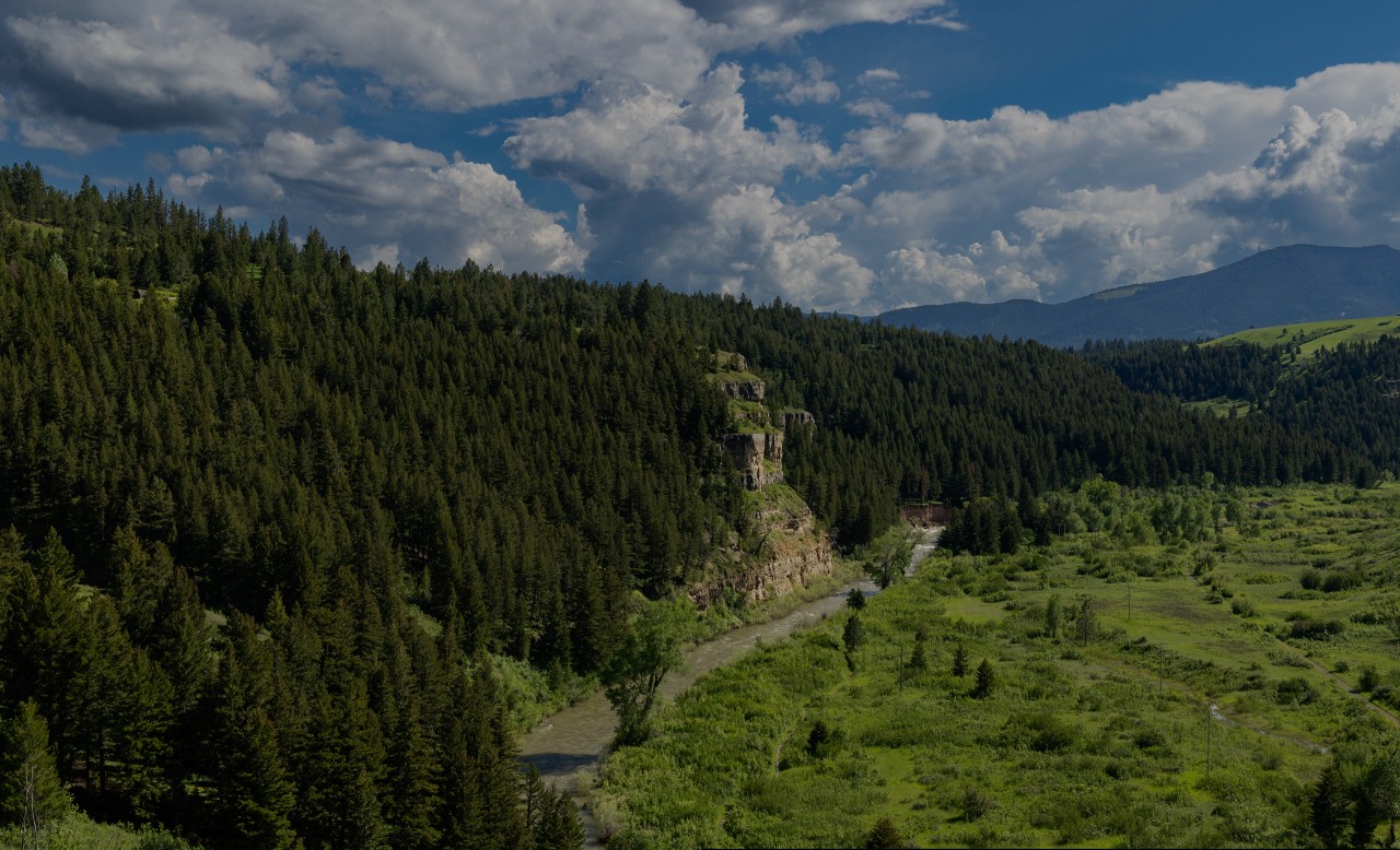
When temperatures climb, we head to the cool waters of Belt Creek in the Little Belt Mountains. We join the countless generations past who have sought the many faces of this classic mountain stream roughly an hour from Great Falls to playfully pass a hot summer day.
Belt Creek begins high in the Little Belts, an isolated range shaped along the eastern edge of the Laramide orogeny mountain-building event, the same force that formed the Rockies. The creek starts north of Kings Hill, at about 8,000 feet in elevation, from a collection of smaller streams, including Jefferson, Logging, and Pilgrim creeks. It travels north for 81 miles before joining the Missouri River 2 miles below Morony Dam.
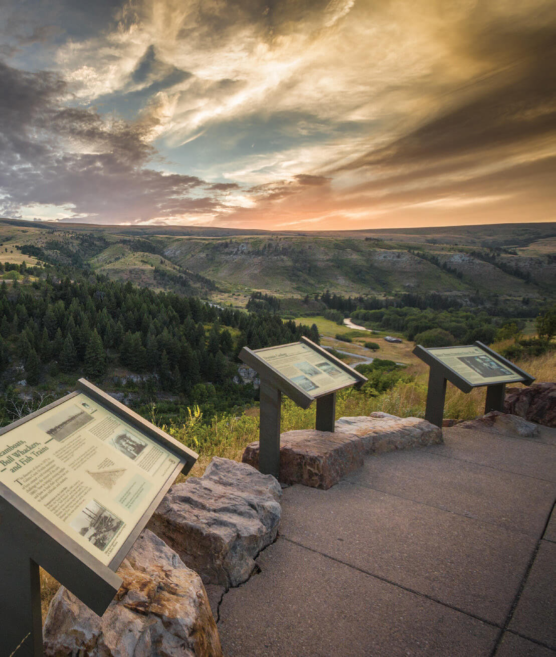
A scenic pullout along U.S. Highway 89 offers an exceptional view of Belt Creek flowing into the high-walled canyon, with informational signs sharing its stories. | ROLAND TAYLOR
There is a lot to love about Belt Creek, especially on hot days. When our sons were young, the go-to spot offered an informal swimming hole. The clear water, ranging from ankle deep to mid-thigh, entertained the kids for hours. Trout fry were easy quarry. The children would capture and count the tiny fish in buckets and through swimming goggles, viewfinders to the novel world below the creek’s surface. A single rope — obviously replaced numerous times, as evidenced by the remnant pieces still wrapped around the limb — provided an extra thrill as they swung out and dropped with a primal yell into the pool below.
Lessons in History and Geology
From this simple swimming hole, the landscape surrounding Belt Creek shifts dramatically farther south. The level valley bottom gives way to limestone cliffs towering along either side of the stream. This eye-catching terrain is Sluice Boxes State Park, a genuinely wild oasis offering a beautiful lesson in geology and history.
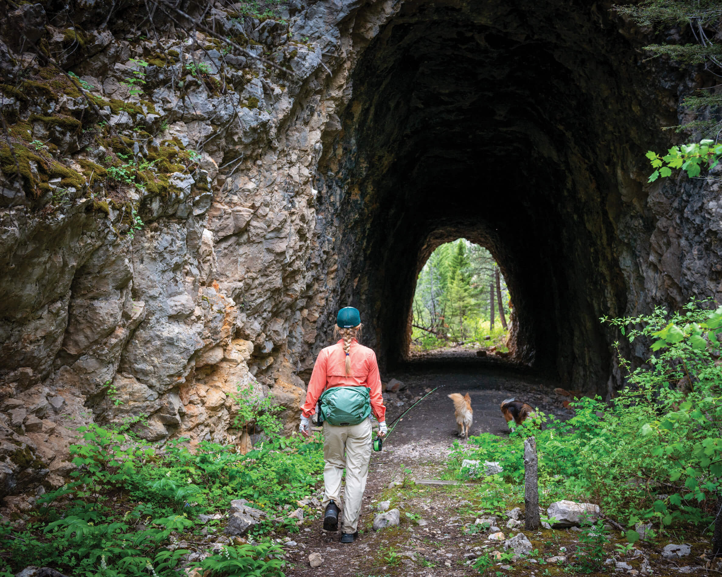
The Montana Central Railway built the tunnel along the narrow gauge rail line that ran from Great Falls to Monarch and Neihart. Roughly 3 miles from the Riceville Trailhead, it’s now a popular destination along the trail. | BEN PIERCE
You don’t have to be a rock nerd like me to appreciate the sheer stone walls pocked with caves and crevices or wonder at how such a marvel exists in central Montana. The story began nearly 80 million years ago, when ancient basement rocks and their sedimentary layers were uplifted and folded. Volcanic eruptions soon followed, with magma doming the terrain, adding both height and complexity to the landscape. Water finished the work. Belt Creek cut its path through the Madison limestone, whose hardness resisted erosion, forging sheer cliffs rather than gentle slopes.

A small bumblebee alights on fireweed blossoms, a common sight among the abundant wildflowers within Sluice Boxes State Park. Every season brings a new delight to flower lovers. | AMY GRISAK
Located just off U.S. Highway 89, the large parking area at the Evans-Riceville Trailhead is often packed with trucks and boat trailers. Two trails lead south from the lot, both eventually connecting to the main Sluice Boxes Trail, which is ideal for those who wish to walk and fish.
On my first August visit to the park more than a dozen years ago, my friends and I rolled up our hiking pants, took off our boots, and waded the creek multiple times to peek into the abandoned homestead buildings. The details surrounding those who lived there are lost in time, but it’s easy to dream about waking up in this landscape.
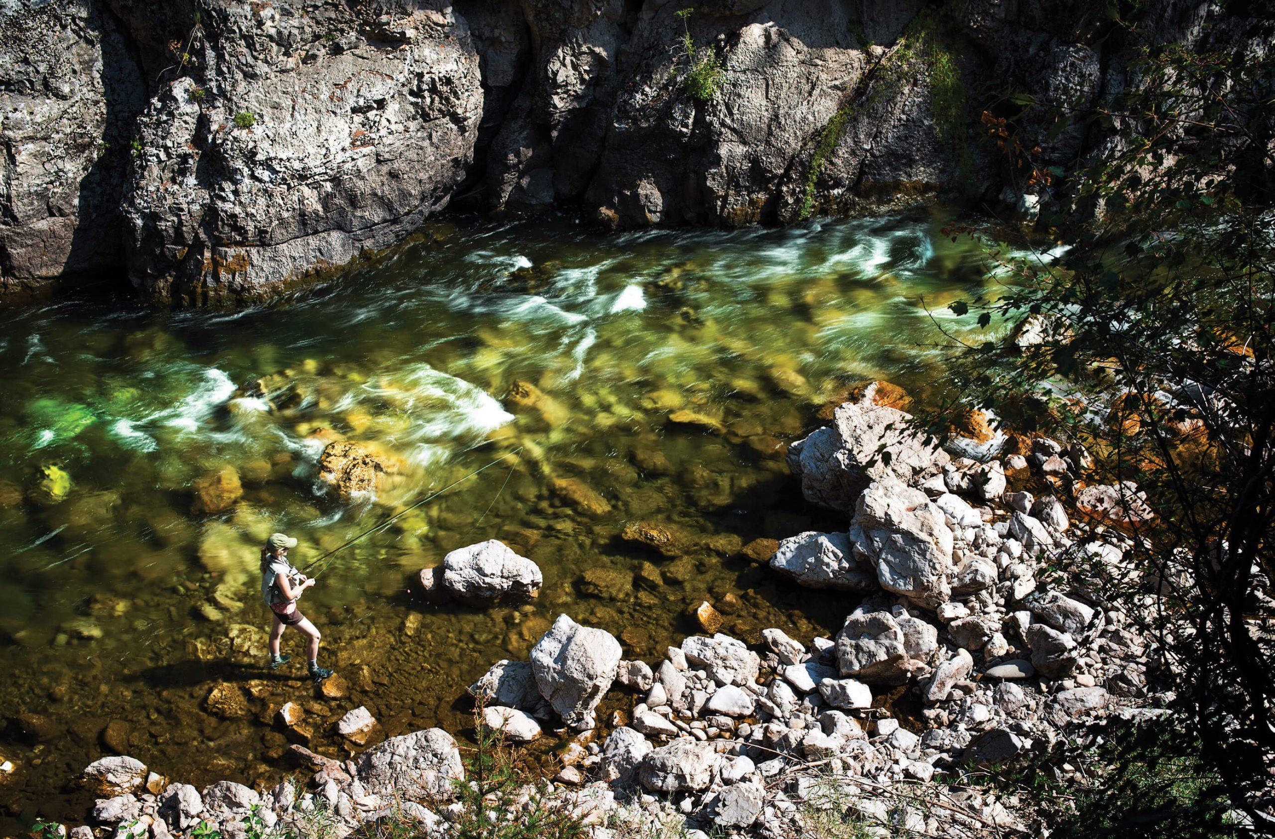
An angler sets a fly in a calm pocket behind a large boulder as Belt Creek’s swift currents rush past. | BEN PIERCE
Now when I hike the area, I prefer to start high, passing the lower parking area and driving up the hill to the west rim and the Overlook Trailhead. After walking down a short rock outcropping and crossing a stream, visitors have the option of turning left to hike along the cliff face or venturing up a short series of switchbacks for the slightly longer but less nerve-wracking route. When the kids were little, we chose the latter, but I prefer the views from the cliff trail now. Though, even I, at a towering 5 feet tall, have to duck under low rocks in a couple of places.
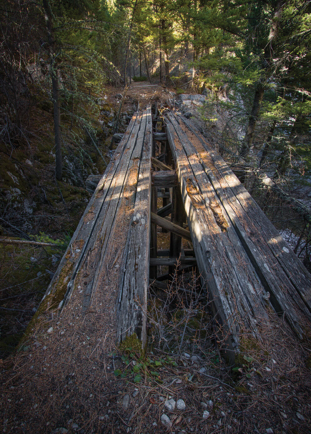
Crumbling trestles remind us of the infrastructure required to bring a train through this narrow, and at times treacherous, landscape. These days, most of the aging trestles have been replaced or the trail has been rerouted around them to avoid mishaps. | ROLAND TAYLOR
When I seek water on hot summer days, it only takes 15 to 20 minutes to reach the first gravel beach area, depending on how often I stop for photos of flowers or scenery. The walk is mostly downhill, so returning to the main trail takes more effort. Still, it’s worth it, both as a place to rest and as a destination.
Two concrete supports, each almost 30 feet tall, remain from the trestle that once crossed the creek, reminding visitors of the Montana Central Railway, which ran through this canyon for five decades. It’s mind-boggling to consider how challenging it must have been to build a narrow-gauge rail line through such a rugged canyon. There’s barely room for a trail in some areas, let alone a train.
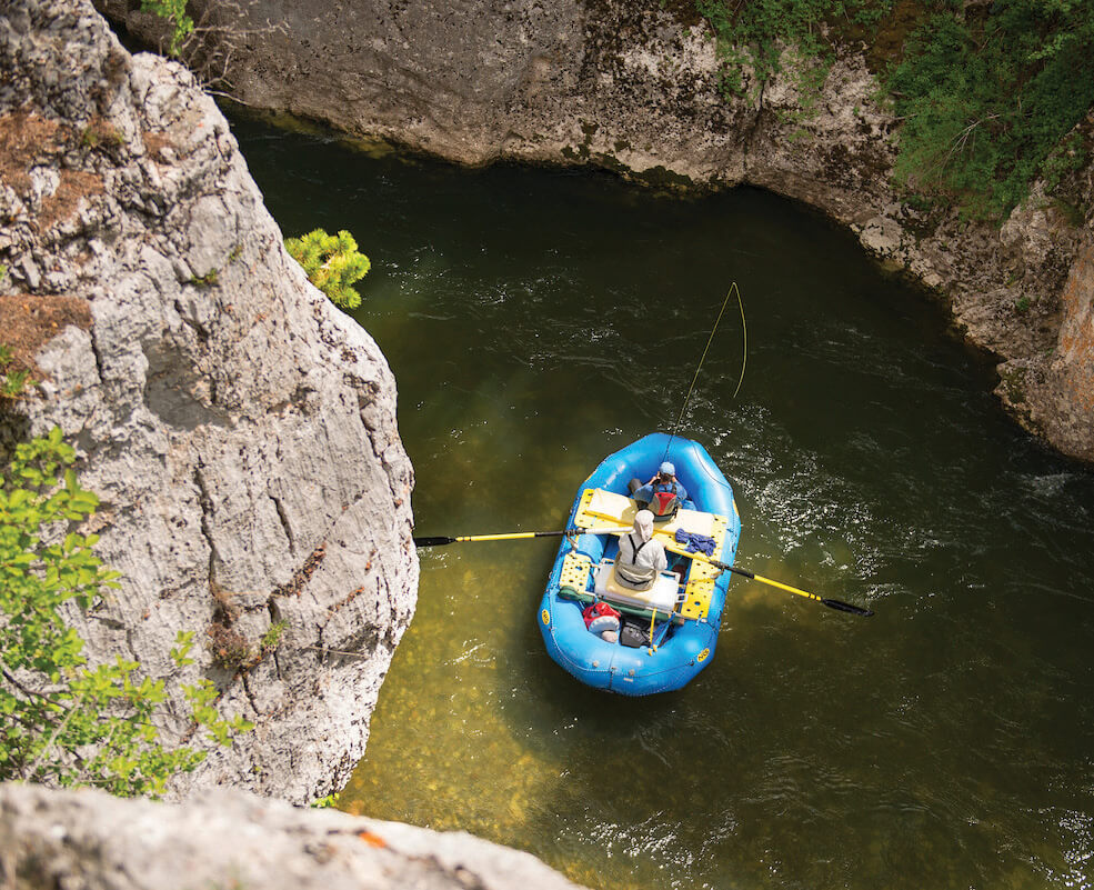
Rafters maneuver through the narrow canyon, fishing the crystal clear water along the way. | BEN PIERCE
To appreciate the region’s history, it helps to know that the Montana Central Railway was part of the Great Northern Railway and “Empire Builder” James J. Hill’s effort to connect the silver mining interests in Neihart and Monarch to the smelters in Great Falls. Every foot had to be wrested from the rock, but engineers took on the formidable challenge of creating a 56-mile railroad along the canyon and creek. Men drilled and blasted, built stone walls to support the rails, and constructed 40 trestles crisscrossing Belt Creek and tributaries to finally reach Monarch in 1890 and Neihart the following year.
Mining in the canyon — whether for silver, zinc, or lead — peaked and waned over the following years, but the railroad served a secondary role starting in 1914, when Great Falls anglers could board the train on Sundays for a day in the Sluice Boxes. The opportunity lasted until the last train rolled through the canyon in the 1940s. Locals already loved the area for its recreational opportunities, and in 1974, it became a state park.
Even though I still scratch my head at the grit and ingenuity required to run a railroad through the area, evidence remains that our predecessors did just that. You can still see the stonework that shored up precarious sections; we used to have to cross some of the trestles, but the trail now circumvents the dilapidated structures. In one part, the grade is perfectly flat, with railroad ties as a stark reminder of the trains that brought minerals and anglers through the canyon.
Though much of the trail is even, there are steep sections that require a bit of a scramble. Because it’s close to Great Falls, people often consider this an “easy” hike, but these features — not to mention the risk of rockslides — make it best for hikers with a little more experience.
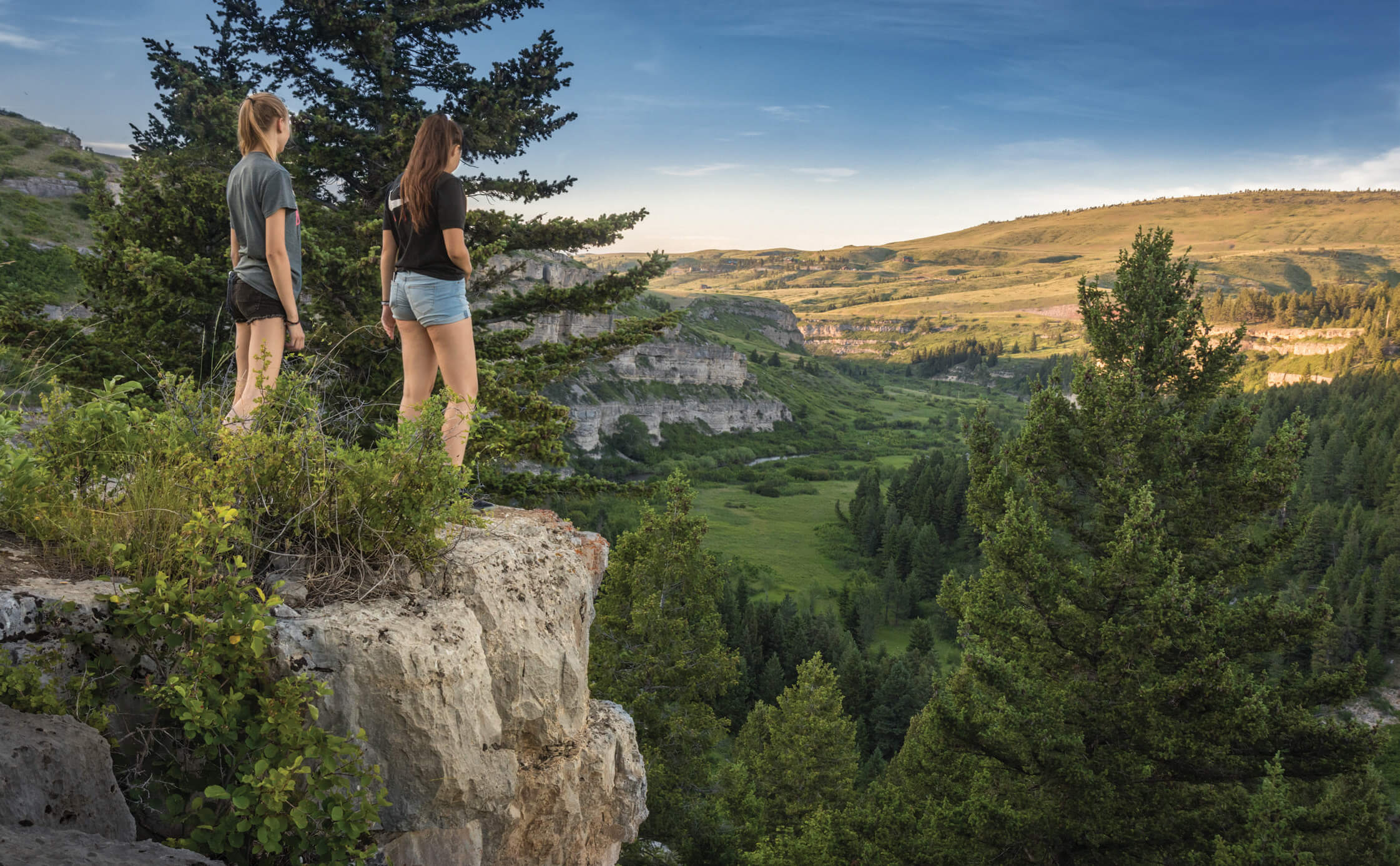
Perched above the canyon, two visitors take in the breathtaking views of the ancient limestone walls that frame Belt Creek as it flows through the valley below. | ROLAND TAYLOR
Among the most striking sights along the trail is the slot canyon, where watching the water carve the rocks below captures the imagination. Depending on the time of year, experienced floaters navigate the Class II–III rapids, weaving between logs, sweepers, and bridge pilings, all while trying not to bounce off the steep rock walls. It’s not for the faint of heart.
About 3 miles down the trail, you’ll pass through the old railroad tunnel, dark with soot from many years of train use. It makes a good place to turn around or stop for a snack. If you continue on, the next 3 miles include about 11 stream crossings, so this section is best walked later in the summer when the water is low. The former limestone mining camp of Albright near the end of the trail gives visitors a glimpse of old machines, railcars, and brick furnaces. The trail ends at Divide Road, where visitors can park a shuttle vehicle or hitch a ride back.
Shallow Waters and Trout
Closer to Belt Creek’s origin, the experience shifts again to favorite fishing holes along the waters that flow through Neihart. The fish aren’t as large as those in the Sluice Boxes, but it’s here that my sons and I learned to fly fish. Although it was difficult to master a perfect backcast while avoiding dogwoods and alders crowding the banks, we eventually adapted to a tight Tenkara casting style.
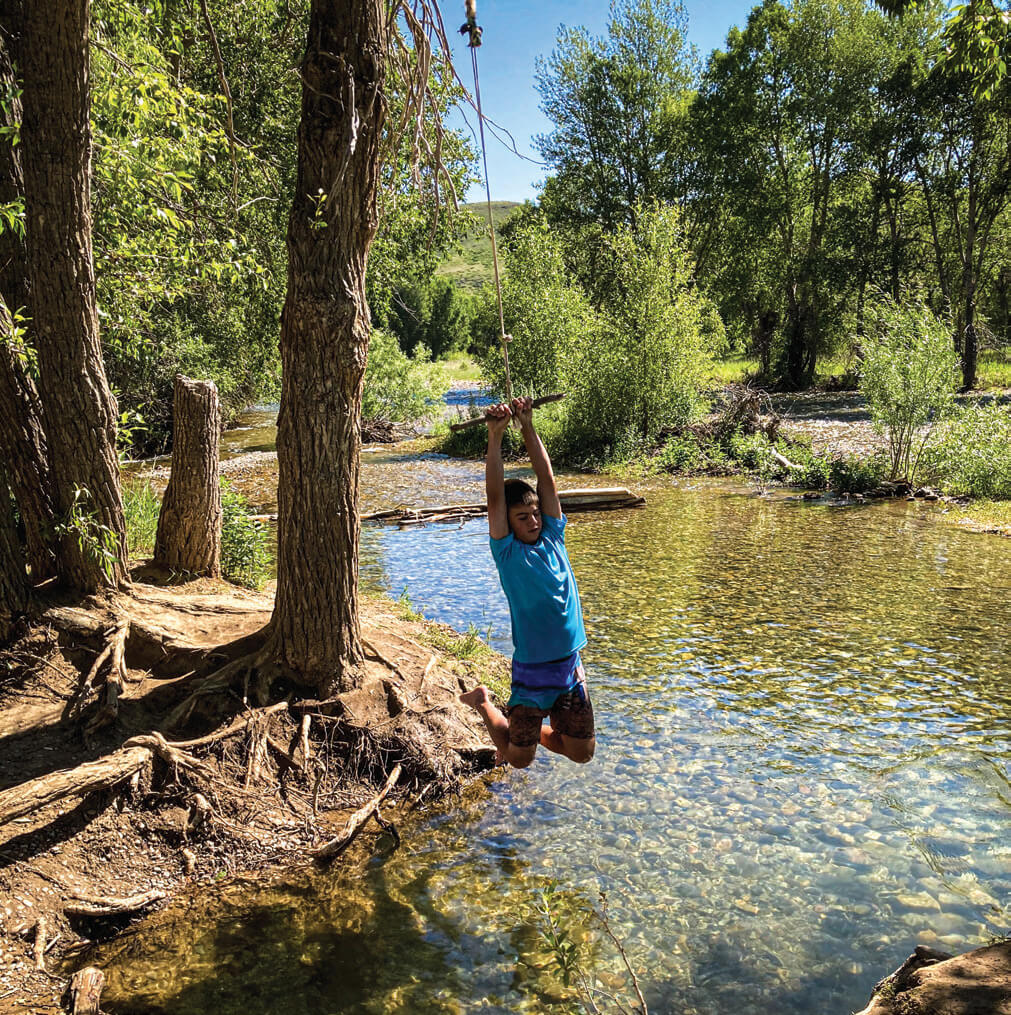
A simple rope swing is the best game in town for kids to swing and drop into the pool below on a hot summer day. | AMY GRISAK
It’s perfectly acceptable to drop the fly into a seam while perched on a large boulder or gently place it alongside the opposite bank. The best part is that the water is so shallow and clear, we can watch the trout, mostly rainbows, make their move. It’s as much of a thrill as the actual hit.
Every time I head back to Belt Creek, I appreciate its stories of mining and railroads, great-grandparents’ fishing excursions, and family outings. A lot has changed in the Little Belts over the past century, but much has comfortingly remained the same. It’s still a place to cool off, catch a fish, and spend time with those we love.
A Word to the Wise: Don’t eat the trout
One unfortunate reality of Belt Creek’s waters is that, even though the trout are perfect pan-sized beauties, we don’t eat them. Samples taken by the Environmental Protection Agency revealed elevated levels of zinc, lead, arsenic, cadmium, and copper in the surface water, and Montana Fish, Wildlife & Parks has a fish consumption advisory on stretches of Belt Creek upstream of Neihart all the way down to the town of Belt.
While heavy-metal issues remain in these stretches, other streams, such as Carpenter Creek and the Dry Fork of Belt Creek — a section that runs east of Monarch toward the Barker-Hughesville Superfund site — are so heavily contaminated that in parts they have no fish at all. Wilder still, the chemically laden waters below the mining area act as a natural barrier, isolating the native westslope cutthroat upstream from hybridization with rainbow trout below.
Great Falls, Montana-based writer Amy Grisak loves to explore history from the ground, envisioning the lives and the landscape while stopping to photograph wildflowers along the way. She is the author of three books and shares her passions for nature, travel, and gardening in national and regional publications; amygrisak.com.
No Comments